

Key Takeaways
- USDA hardiness zones are based solely on average annual minimum winter temperatures.
- Zone numbers range from 1 (coldest) to 13 (warmest), each split into 'a' and 'b' half-zones.
- Zones don't account for summer heat, humidity, rainfall, or soil-use them as a starting point only.
- Microclimates in your own yard can shift effective conditions by a full zone in either direction.
- Always cross-reference zone data with local extension service guidance for best results.
What Are Plant Hardiness Zones?
If you've ever purchased a perennial, shrub, or tree at a garden center, you've likely seen a tag that reads something like "Hardy to Zone 5" or "Zones 7-9." These zone designations come from the USDA Plant Hardiness Zone Map, the standard reference tool used by American gardeners and horticulturalists to gauge whether a plant can survive winter in a given location.
At its core, a hardiness zone is a geographic designation that tells you the average coldest temperature a region typically experiences in winter. Plants are assigned zone ranges indicating the coldest conditions they can reasonably tolerate. Match the two, and you have a solid baseline for deciding what belongs in your garden.
Understanding zones is especially valuable when selecting perennials, trees, and shrubs-plants that you expect to survive and return year after year. For guidance on how annuals and perennials differ in this context, see our guide to annuals vs. perennials.
13
USDA hardiness zones across the US
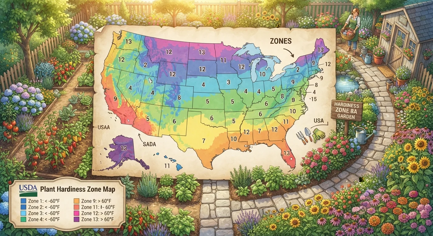
The USDA Plant Hardiness Zone Map divides the country into 13 zones, each representing a 10°F range of average annual minimum winter temperature.
5°F
Temperature difference between half-zones
Each numbered zone is split into 'a' and 'b' sub-zones, allowing for more precise plant matching within a region.
30 years
Temperature data averaging period
The USDA calculates zone boundaries using minimum temperature averages across 30-year periods, making the zones a long-term climate indicator rather than a year-by-year snapshot.
How the USDA Zone Map Works
The USDA map divides the contiguous United States (plus Alaska, Hawaii, and Puerto Rico) into 13 numbered zones, each representing a 10°F range of average annual minimum winter temperature. Zone 1 covers the coldest regions (think interior Alaska, with lows around -60°F), while Zone 13 represents the warmest tropical areas (above 60°F minimum).
Each zone is further divided into two half-zones-"a" and "b"-representing a 5°F difference within the broader 10°F band. So Zone 6a is slightly colder than Zone 6b. Most of the continental US falls between Zones 3 and 10.
The map is updated periodically by the USDA Agricultural Research Service using temperature data averaged over 30-year periods. The most recent major update incorporated data through 2012 and resulted in some zones shifting warmer compared to earlier editions, reflecting long-term climate trends.
When a plant label lists a wide zone range like Zones 4-9, pay attention to what part of that range you're in-plants at the edges of their tolerance often need additional site selection care.
A wide zone range reflects adaptability, but it also means the plant's performance is optimized in the middle of that range; growing it at the extremes increases the chance of cold or heat stress.
Cross-reference hardiness zone data with your state's cooperative extension frost date tables before finalizing your planting calendar.
Average minimum temperature doesn't tell you when the first and last frosts occur-two pieces of information that are equally critical for timing planting and protecting tender species.
What Hardiness Zones Don't Tell You
Zone ratings are a powerful shorthand, but they capture only one dimension of a plant's needs: cold tolerance. There are several important factors they leave out entirely.
- Summer heat: A plant rated for Zone 8 may tolerate the mild winters of coastal Oregon but struggle with the intense summer heat of Zone 8 in inland Texas. The American Horticultural Society publishes a separate Heat Zone Map that some plant labels also reference.
- Humidity and rainfall: Moisture-loving plants may thrive in a humid Zone 6 but fail in an arid Zone 6 without supplemental irrigation. See our watering principles guide for strategies to compensate.
- Soil type and drainage: Poorly draining soil can kill cold-hardy plants through root rot regardless of winter temperature.
- Wind and sun exposure: Exposed hilltop gardens experience harsher conditions than sheltered low-lying spots in the same zone.
Zone Ratings Are Not a Performance Guarantee
A plant rated for your zone will likely survive average winters-but an unusually severe cold snap, late frost, or prolonged freeze can damage or kill even well-matched plants. Treat zone ratings as a strong probability, not a certainty, and have a contingency plan for extreme weather years.
Finding and Using Your Zone
Locating your zone is straightforward. The USDA hosts an interactive version of the map at planthardiness.ars.usda.gov, where you can enter your ZIP code to get your specific zone designation. Local cooperative extension offices-operated through land-grant universities in each state-also publish region-specific guides that contextualize zone data with local soil and weather patterns.
Once you know your zone, use it as a filter when reading plant tags or catalog descriptions. A plant listed as "Zones 5-8" is generally appropriate for your garden if you live in that range. Plants listed for warmer zones than yours may struggle or die over winter without protection; those rated for colder zones should perform reliably.
For a broader seasonal planning framework, our year-round garden planning reference can help you schedule plantings around your zone's frost dates.
Use ZIP Code Lookup for Precision
Rather than relying on a printed map, use the USDA's online interactive tool and enter your exact ZIP code. Zone boundaries don't follow neat geographic lines, and even neighboring ZIP codes can fall in different half-zones. This small step can make a meaningful difference when selecting borderline plants.
Microclimates: Your Garden's Local Exceptions
Even within a single yard, conditions can vary meaningfully. A microclimate is a small area where temperature, moisture, or sun exposure consistently differs from the surrounding region. Understanding your microclimates lets you push zone boundaries deliberately.
Common microclimate examples include:
- South-facing walls: These absorb and radiate heat, creating a warmer pocket that can allow Zone 8 plants to survive in a Zone 7 garden.
- Low-lying frost pockets: Cold air is dense and sinks, so depressions or enclosed low spots often experience more frost than nearby elevated ground.
- Urban heat islands: City gardens surrounded by pavement and buildings frequently run a half to full zone warmer than surrounding suburban or rural areas.
- Wind corridors: A gap between structures can channel cold wind and effectively make a spot feel colder than its zone suggests.
When preparing for colder months, knowing your microclimates helps you prioritize which plants need protection first. Our fall garden prep checklist covers practical steps for protecting vulnerable plants before temperatures drop.
Putting It All Together for Plant Selection
Think of your hardiness zone as the first filter in a multi-step plant selection process, not the final answer. A practical approach looks like this:
- Confirm your zone using the USDA map and your ZIP code.
- Check plant tags for zone range compatibility as a baseline screen.
- Layer in local factors-consult your state extension service for guidance on heat, humidity, and soil considerations specific to your area.
- Identify your yard's microclimates and match sensitive plants to protected spots.
- Start conservatively if you're new to a location-choose plants well within your zone range before experimenting at the edges.
Zones give structure to an otherwise overwhelming plant selection process. Used alongside local knowledge, soil awareness, and seasonal planning, they become one of the most reliable tools in a gardener's decision-making toolkit.
“Hardiness zones are a guide, not a guarantee. The best gardeners learn to read their own land-its slopes, its shadows, its soil-as carefully as any map.”
— University Extension Horticulture Specialist, Cooperative Extension Service, Land-Grant University
This article is for general informational and educational purposes only. Plant performance varies widely by local conditions; consult your local cooperative extension service or a qualified horticulturalist for advice specific to your garden.